
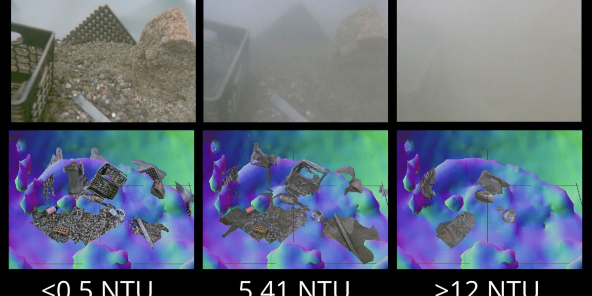
 tir up the seabed with a remote-controlled underwater drone, and your high-end cameras instantly become useless against a blinding cloud of silt and sand. Until recently, standard operating procedure was absurdly low-tech: operators simply twiddled their thumbs and burned expensive operational hours waiting for the sediment to settle.
Engineers at MIT and the Woods Hole Oceanographic Institution (WHOI), led by Amy Phung and Richard Camilli, got tired of the waiting game. They developed a practical two-stage navigation system that pairs rough acoustic mapping with short-range optical capture to bypass murky blindness entirely.
The logic is refreshingly straightforward. While acoustic sonar cannot match the fine resolution of an optical lens, sound waves pierce dense sediment with zero friction. The system uses sonar to build a rough 3D topographical map through the murk, allowing the sub to creep directly toward its target without colliding with unseen hazards. Once the drone inches within inches of the seabed, standard optical sensors kick in to capture crisp imagery.
Camilli aptly compares the challenge to feeling your way across a pitch-black china shop just to grab a single mug without smashing the merchandise. By turning ultrasonic positioning into a scout for close-up cameras, the setup cuts out costly idling across offshore maintenance, marine research, and underwater mine disposal. It turns an agonizing waiting game into continuous, functional fieldwork.